This article was featured in the 2022 Autumn Newsletter by Mitch O’Neil-Mitch O’Neil– End User Support Specialist New York Natural Heritage Program/iMapInvasives.
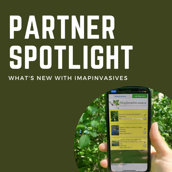
A lot has changed in iMapInvasives this year! Read about some of the new features in New York’s official invasive species database below:
Filter Tool *new options*: There are many new options to filter the data that you see on the map, including whether the record has a photo attached. Learn more at imapinvasives.org/filter.

iNaturalist: A new layer has been added to iMap, displaying research-grade iNaturalist records from the last 5 years. You turn this layer on in the Layers On/Off panel when zoomed in or filtered on one or more species. Learn more at imapinvasives.org/inaturalist.

Site Time Series: A new tool is now available to visualize change over time, particularly when zoomed in past the county level. The tool allows you to play an animation of the data through the time frame you specify, and will respond to the filter parameters you set. Learn more at imapinvasives.org/timeline.

Help Information: Throughout the interface, we have added helpful definitions and links to more information – keep an eye out for “Learn more” links, the (i) icon, and text descriptions for more information on a particular aspect of iMapInvasives.

Confirming: We now have the ability to grant volunteers the ability to confirm common species – email us at imapinvasives@dec.ny.gov if you are interested.

The most important update to iMapInvasives each year comes from you! Thank you for all your report observations to iMapInvasives. Your efforts help us keep track of the ever-changing distributions of invasive species, and the submitted distribution data informs management strategies across the state. Learn how to report at nyimapinvasives.org/report.
To stay up-to-date on iMapInvasives, visit us at www.NYiMapInvasives.org and follow us @NYiMapInvasives on Facebook or Instagram.


