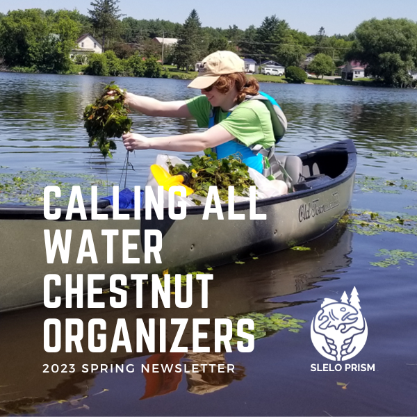
This article was featured in the 2023 Spring Newsletter by Mich O’Neil, NYNHP/iMapInvasives.
Water chestnut (Trapa natans) is an aquatic invasive plant spreading though the rivers, lakes, and ponds of the northeast, forming dense floating mats that alter aquatic ecosystems and impede boating, paddling, and swimming. You may be familiar with their fruits that wash ashore, with sharp spines that can cause pain and even injury when stepped on.
We can protect our water resources from these negative impacts through consistent hand harvesting – each year, dozens of conservation professionals, and volunteers across the state work together to remove thousands of pounds of water chestnut by hand from New York waterbodies. We estimate that in 2022 over 50,000 pounds of water chestnut were managed.
The PRISM network uses iMapInvasives, the official invasive species database for New York State, to track these efforts. Documenting water chestnut infestations and removal efforts with a standardized data collection method empowers us to quantify water chestnut distribution/biomass, track progress across multiple years, and summarize efforts across regions.


We ask water chestnut pull organizers to record three main things in iMapInvasives:
- Delineate the areas where you found water chestnut
- Indicate the density of each infestation (trace, sparse, dense, or monoculture)
- Delineate the areas where your removed water chestnut
Then, we can calculate biomass estimates which take into account both the area and density of the infestations. With this information, you can track the infestation through time and see whether it shrinks over the years in response to continued removal efforts, or if other management techniques are needed.

Water chestnut pull organizers – we welcome you to join the network of partners across the state working with iMapInvasives to document your efforts.
Water chestnut pull volunteers – we thank you for your contributions, many hands make light work! Check with your pull organizers to make sure the water chestnut removal is documented in iMapInvasives, to make sure your efforts count!
Visit the nyiMapInvasives website to:
- Watch a recorded training on how to report water chestnut-pull data to iMapInvasives.
- Read the tutorial PDF for a step-by-step guide on documenting your efforts.
- View the upcoming state-wide report for the 2022 field season.


